Rainier, Shasta, Hood, and Broken Top
Words by Dave Shuey. Photos by Noémi and Dave Shuey.
17-31 May 2018
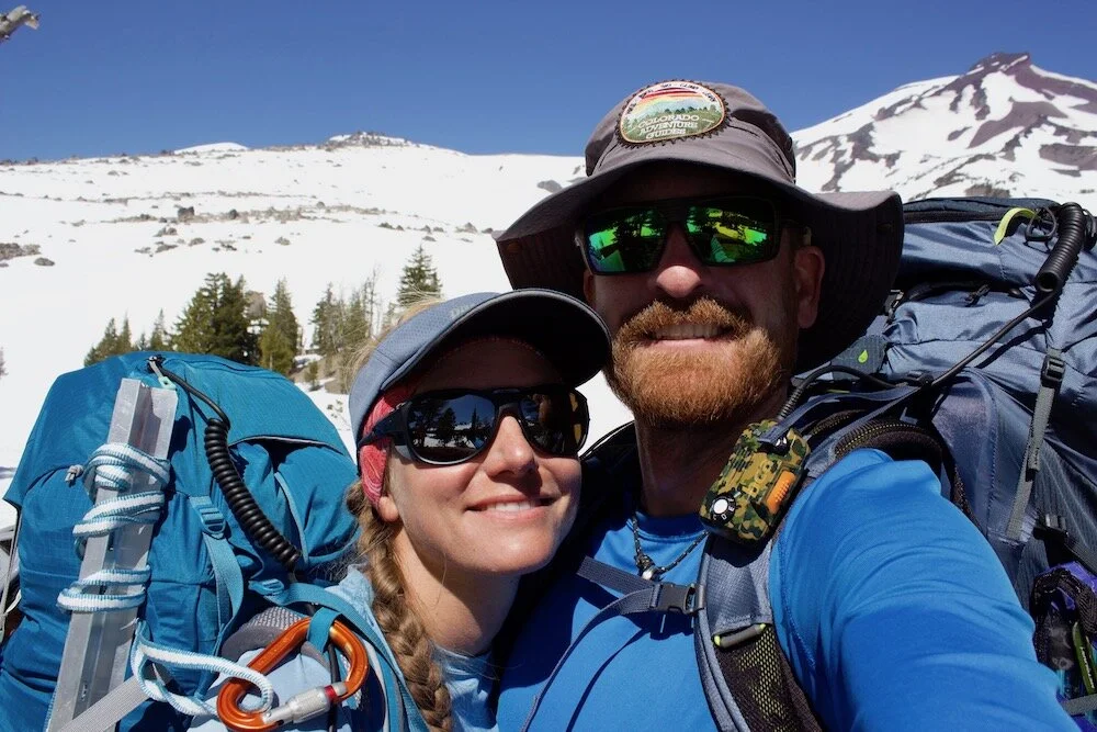
You could say we came from a rock climbing background, but for the last few years Noémi and I had been training ourselves to become better skiers and mountaineers. We’d had three winter seasons of backcountry skiing in Summit County Colorado under our belts, and a couple seasons of summer hiking up a dozen or so routes on the fourteeners within the state. With some practice on alpine climbing skills such as self-arrest, cramponing, snow anchors, and crevasse rescue, we set our sights on glaciated volcanoes and aimed the van towards the Pacific Northwest.
Mount Shasta
Beginning in Northern California, the first stop on our tour de volcano would be the northern-most fourteener in California with Mount Shasta. Natively known as Úytaahkoo or White Mountain, Shasta lies at the southern end of the Cascade Range and rises to 14,179 ft (4321 m), and is the second highest peak in the Cascades, following Rainier. We wound our way up the forested road and parked at the Bunny Flat trailhead for the night.
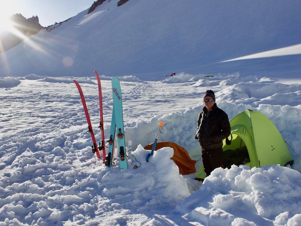
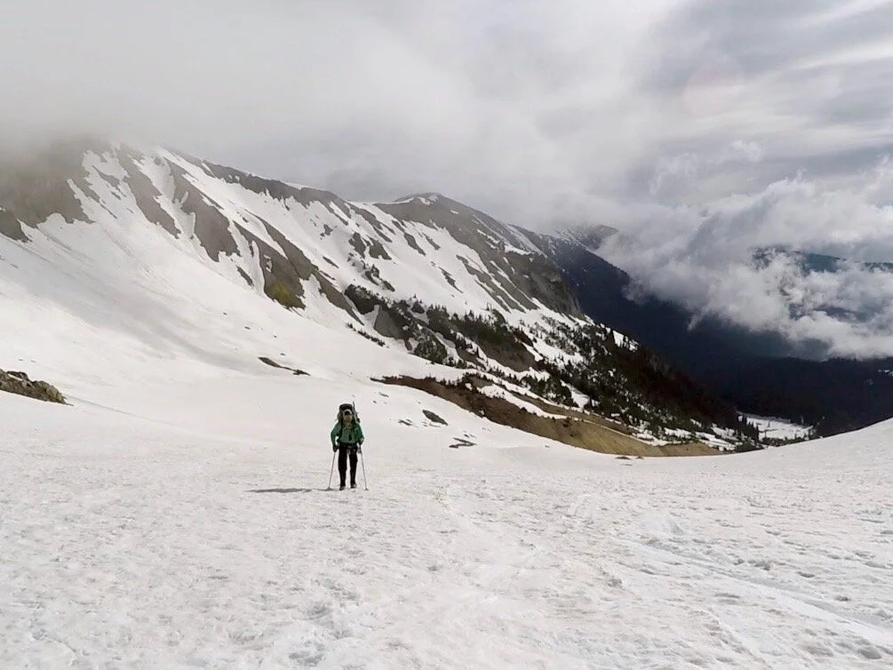
Late morning, we strapped skis to our already bulging packs and headed up the dirt trail. Luckily after just a short way we were able to get our skis on the ground and proceed up the base of the Avalanche Gulch route on the SW side of the peak. Warm temps and heavy packs made us feel slow, and we trudged up the 3500 ft over 3.7 mi to our home for the night at Helen Lake. A good dozen other tents were stationed in little platformed ditches in the snow, and we chose a free space and began clearing out some snow. We bedded down quite comfortably as a minor storm rolled through and the clouds ascended to meet us.
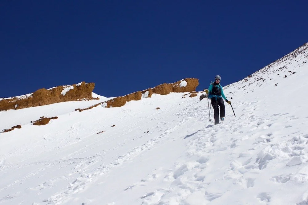
We woke the following morning to clear skies and cool temps. Although we’d carry 100 ft of rope and some gear in the case of an incident, the Avalanche Gulch route does not cross glaciers and therefore not crevasses, so we and everyone else would be unroped for the climb. The slope before us was steeper than below and rock hard from the melt-freeze of the previous day. It was only a short while before we decided to cache our skis and continue up on foot, with the comforting security of cramponed feet and the less weight of skis. We pounded up self-induced switchbacks onwards following a handful of other climbers, all by foot, some with skis on their backs.
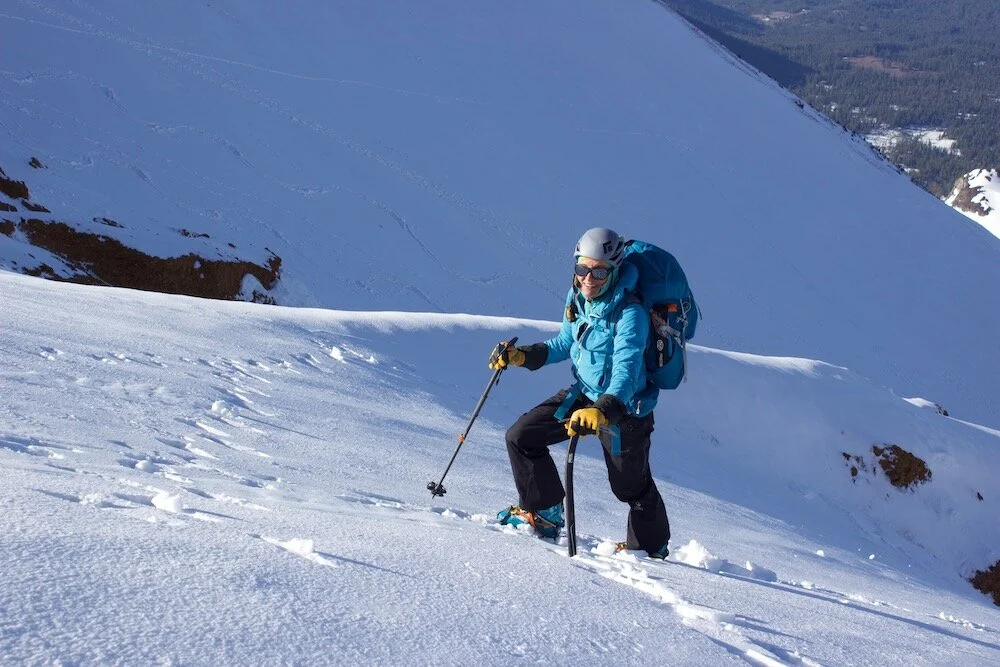
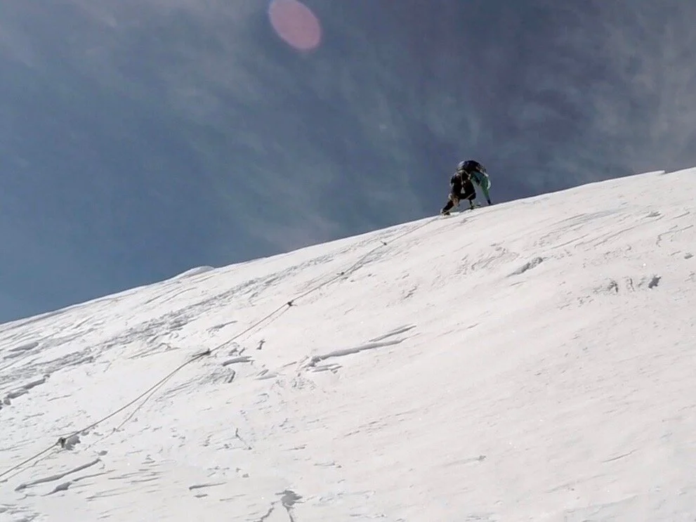
The final pitch through an opening in the Red Banks proved fun as the angle tipped up and got us down to all fours. I’ve embraced the use of a whippet along with my ice axe for climbs like this; it serves well as a trekking pole while on my feet, and great for some extra control and security used like an ice tool when on all fours. We broke through the top of the Red Banks and encountered a flat-ish spot to take a break on the snowfield with views overlooking the ridge.
The route continues up a wide ridgeline with the impressive Konwakiton Glacier to our right. Two long rises later, we approached the final plateau before the summit block. This final challenge is not too difficult, although exposed in spots and rises up above a section of exposed earth, steaming with sulfuric gases, reminding us of the sleeping giant beneath our feet. The summit pinnacle was blasted with rime ice in long sweeping formations several feet long. We had reached the summit of our first volcano and first Cascadian peak, just just a couple other climbing parties among us.
Our descent proved warm but mostly uneventful, as we trudged down the upper slopes by foot, broke down camp, and skied off towards Bunny Flat on warm slush. Sure beat hiking down from camp!
We completed the 11 mi rt, 7300 ft climb in 29h car-to-car (overnight at Helen Lake). 5:15h trailhead to camp; and 5:45h camp to summit over 17-18 May 2019.
Broken Top
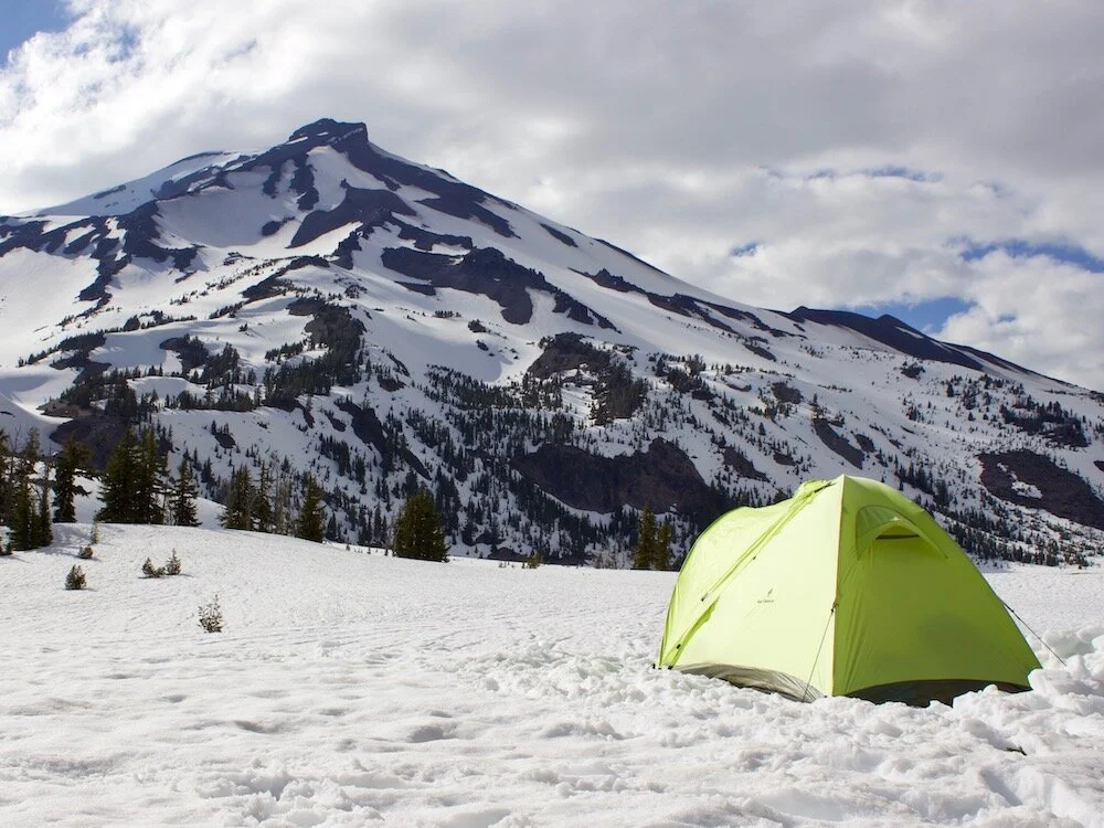
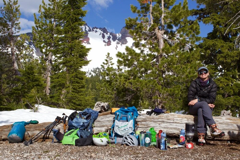
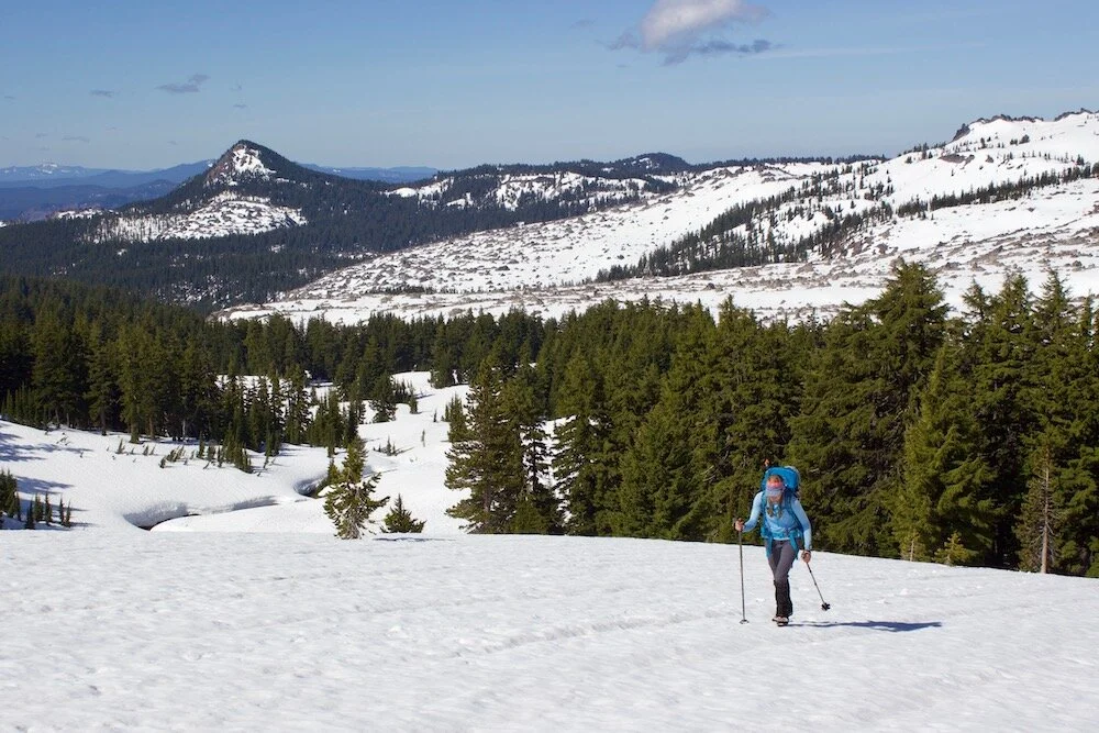
We drove W from Bend Oregon, passed the ski run covered peak of Mt Bachelor, to the Green Lakes trailhead, below our next objectives of South Sister and Broken Top. At dawn on the morning of May 21st, we shouldered our packs and headed up the trail by foot. After reading some reviews and scoping out the trail the evening prior, we decided the receded snow line was not low enough and we’d skip bringing our skis. We hiked up along a cascading river, crossing via single-log bridges a few times. As we ascended, we hiked up firm snow beside land significantly altered by a past lava flow on the SE flank of South Sister. As the trail passed the flow, views of South Sister on our left and Broken Top on the right began to emerge, and we set up the tent and ditched some gear beside the frozen lake.
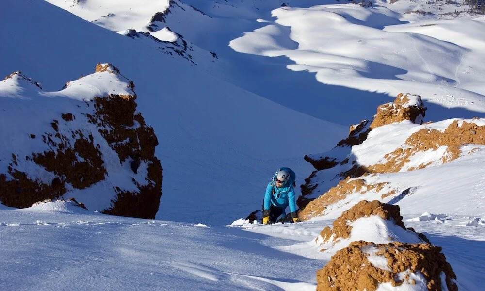
Heading east at 9am, the slope towards the W face of 9177 ft (2797 m) Broken Top, and the terrain steepens once arriving at a moraine below the face. Our next goal was to ascend a snow slope on the W face and work our way up onto the mostly dry and rocky NW ridge. We likely traversed over onto the shallower ridge too early, as the going was difficult on the loose, chossy rock. Although steeper, we could have had easier going if we’d stayed on the snow for longer. Alas, we navigated the rocky ridge and brought the climb to beneath the jagged summit block. A couple easy but quite exposed fifth class moves saw us tag the summit. The basin off the other side was a stunning sight with jagged pinnacles and towers or rock rising steeply from all sides of the Cook glacier. It quickly reminded me of the destructive violence these volcanos are capable of. Views from the top saw the Sisters Range, Mt Jefferson, and Mt Hood to the north, with massive expanses of forest in between.
Back at camp Noémi was expressing doubts on our attempt on South Sister the next day. As it’d be our first real sections of glacier travel, she was nervous and feeling apprehensive. The weather was not looking like a sure thing either, so we decided to call it, spend the night at the frozen lake, and hike out in the morning. Although always a bummer to bail on an objective, the day out on Broken Top and a night spent beside a frozen lake was well worth the effort. Onward towards Mt Hood.
It took us 3:20h trailhead to Green Lakes (+1250 ft, 4.8 mi); and 3:50h Green Lakes to summit of Broken Top (+2600 ft, 4.2 mi).
Mount Hood
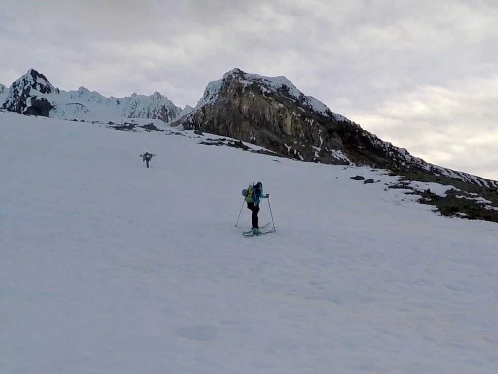
It felt an awful lot like setting out for a skin up the resort on Peak 8 in Breckenridge, instead of a mountaineering objective, but off we skinned beside the groomed runs of the Timberline Ski Resort on Mt Hood. The moon was bright and we didn’t need headlights for long, as we worked our way straight up fall line. The clear difference of ascending besides gaping crevasses to the right, were a quick reminder that we were no longer on Peak 8. We skinned up past the highest lift and were on the steepening slope of the Palmer glacier.
Mt Hood, originally called Wy’east, is a 11,249 ft (3429 m) stratovolcano, sporting three ski areas on its flanks. As a young teenager, I had been up visiting my aunt in Portland, and she took me to Mt Hood Meadows Ski Resort. This had planted a seed in my desire and I was stoked to be back climbing the peak I’d skied on some twenty years earlier.
With the aid of ski crampons, we switchbacked our ascent up from the top of the Palmer ski lift, towards the famous Hogback, a tower of rock which creates a bit of a saddle between the tower and where the peak rears up for its final section. The upper portion off the summit, is steep terrain with spots where a skier would be ill-advised to fall; as such we chose to ditch our skis just below the Hogback and continue on foot.
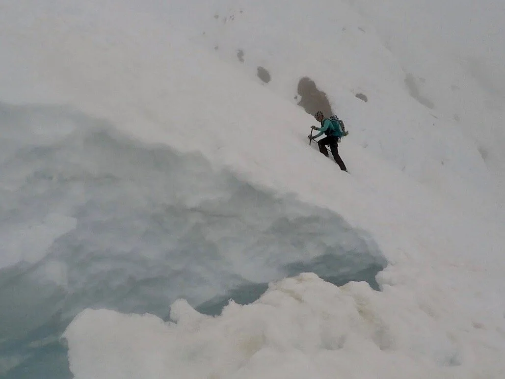
Skirting around the bergshrund to its right, I looked deeply into its void, continually impressed by the force of glacial movement. Above, the heavenly Pearly Gates rose up dramatically and we switched to climbing on all fours up through a break in the ice towers. The summit being only a short distance off the top of the Gates, we arrived shortly and enjoyed a lull in the cloud cover for just long enough to gander at the sights. My twenty year dream had finally reached the apex of Mt Hood.
Not wanting to descend the narrow Pearly Gates when others were likely ascending them, we elected to join our new summit posse, many who had been near us throughout the ascent, and we made our way off towards the Old Chute route. Other than a narrowing restriction at the top, the Old Chute is considerably wider and we all descended together, facing out when the slope was easy and down climbing when the angle steepened. Two of our new friends had brought skis to the summit and took to skiing the chute with a massive crevasse separating us from the relative safety of the Hogback. They skied well, with calculated turns, and we all left the snow and hiked down an exposed section of dirt with warm sulphur smoldering below. Back reunited with our skis saw us snow sliding the choppy slopes to where the natural meets the groomed. It was a wild feeling, and quite nice on the knees, skiing groomers all the way to the base of the resort at the scenic Timberline Lodge (the exterior of which is world-famous due to being featured in the Hollywood blockbuster “The Shining”).
Leaving the car at 3:30 am on 25 May 2019, we completed the 7.4 mi rt, 5400 ft climb in just over 8:00h, car-to-car. Being our first actual glacier climb, we brought a rope and crevasse rescue gear, but never bothered to rope up. 90% of our fellow climbers didn’t even bring glacier gear, and the guides only busted out ropes for their clients for ascending and descending the upper-most slopes. Although a bit heavier, I felt fine about our decision to bring but not use the gear.
Mount Rainier
The grandaddy of the lower-48, the most glacially rich and highest of the Cascades at 14,411 ft (4392 m), Mt Rainier (Tahoma or Tacoma, natively) would be the final and best alpine objective of our trip. With roughly 1600 climbers attempting the route each year, the Emmons-Winthrop route ascending the NE side of the volcano, is the second busiest route, after the Disappointment Cleaver route on the S side, and sees just a 54% success rate (source: US National Park Service publication 2018). The full route, beginning at the White River campground, ascends 10,300 ft over about 10 mi to the perpetually white Columbia Crest, the highest point on the summit rim. Immense crevasses require careful navigation while climbing the vast upper slopes from high camp to to the apex.
Noémi and I, looking to stack as many cards in our favor as possible as this would be the largest peak and most challenging objective of our short alpine climbing careers, chose a three night, four day plan for our ascent and descent. In hindsight, this could have just as easily been done cutting out a day. We left the backside of the campground at 4200 ft with clear weather on the horizon for the next few days. Our first day would just be a warmup jaunt to the Glacier Basin camping area. Just shy of 3.5 mi and about 1800 ft found us having navigated the initial trail to the camp at about 6000 ft in just 2:15 hours. Having now been through this, Glacier Basin is the camp I would choose to skip in the future, but it did provide a low-stress start to the climb.
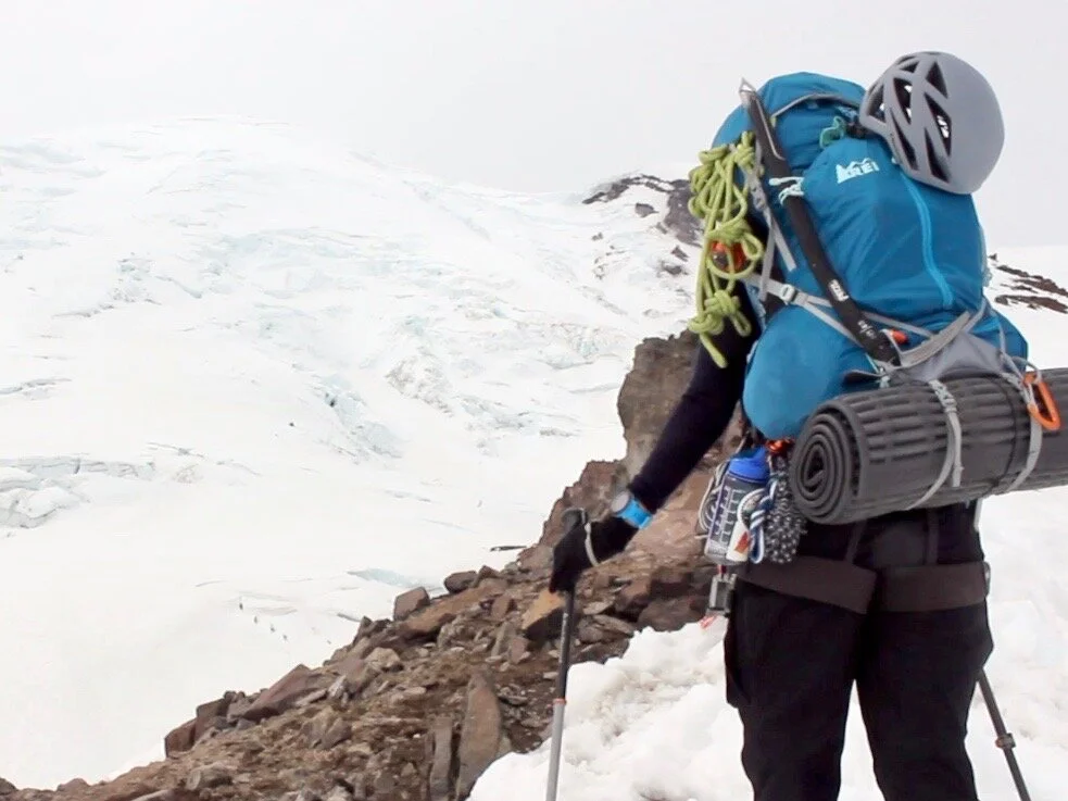
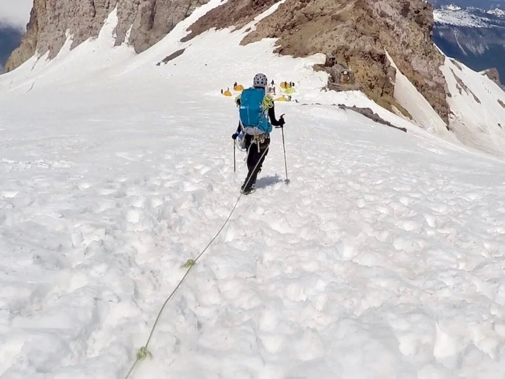
The next morning, had us commencing the route, leaving the trail and heading up onto the Inter Glacier. Switchbacking where the slope steepened, a long slog kept our speed down and our persistence up, while working our way in a SW orientation. Perhaps later in the summer, there would be broken sections and crevasses showing, but the slope was well covered and we continued unroped until reaching the southern edge of Steamboat Prow and our first views of the heavily featured Emmons glacier and the upper slopes of Rainier. We got out the rope and descended onto the largest glacier the peak has to offer. Huge holes lay strewn about to our left and right, and we simply followed the firm snow where hundreds of climbers had already laid footprints that season.
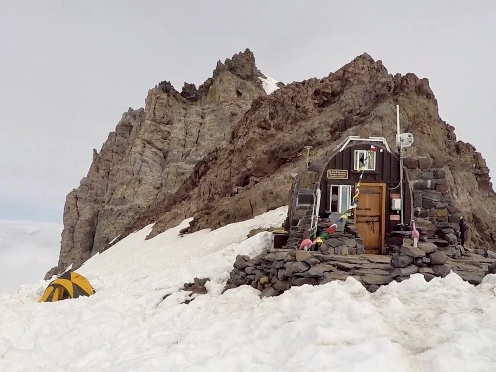
With giddy excitement at realizing our true position, the stone-walled and prayer flag topped ranger hut and the scattering of colorful mountaineering tents welcomed us to our high camp at Camp Schurman at 9500 ft. This slow moving day saw our efforts take 4:00 hours from Glacier Basin camp to the edge of Steamboat Prow and another hour to rope up and reach Schurman. Enjoying some sunshine in the afternoon after setting up camp, we watched a few parties descend the upper slopes and return to camp; all looking tired from their day’s battle with the elements.
The skies were calm during the late afternoon but during the night, as apparently happens most nights according to our chats with the climbing ranger, the clouds ascended to reach camp and the winds began to howl! The flap of the tent left open for venting shook with fury well into the early morning hours, and sleep did not come easily. The watch began beeping us awake from our uneasy slumbers at 3am, and I did my best to ignore it. On mornings like this, no matter how stoked you are for the day’s upcoming adventure, it’s so easy to convince yourself that it must be storming so heavily that the obvious best decision is to roll over and go back to sleep. Of course, we knew from the report that clear weather was forecasted for the day, and we did our best to shake off the anxiety and remove ourselves from the sleeping bags and security of the tent. The wind was tearing through camp and the air was cold. Numb fingers massaged carabiners awake, and we gathered our summit day gear and roped up for glacier travel.
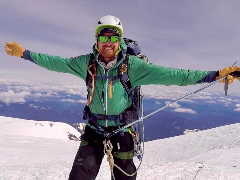
To my great delight, the winds abated just a short while after leaving camp, and everything was looking up! Halfway up the Corridor, a long 1000 ft straight and relatively unbroken section of the glacier, I looked back at Noémi trailing behind on the other end of our lifeline to see what is as-to-date the most stunningly beautiful vista of my 33 years. The dawn was just beginning to break, and a fiery light of the early morning sun was boiling beneath a layer of clouds spread out light an ocean between the ridges of the mountain. With her centered in the foreground and this view in the rear, I snapped some photos and video clips with an ear-to-ear grin. What I felt at that moment was what I dreamed of achieving in my climbing life. The weather was now calm and the summit felt attainable.
Our path forward was largely straightforward in terms of navigation, but not always in terms of the effort it required. When the slope mellowed we cruised in good time, but when it steepened we slowed to a crawl. Broken sections of the glacier and a great serac wall required us to traverse far to the climbers’ right before working our way back left again, always ascending. Once reaching about 13,800 ft, the route was marvelous with house and bus eating holes presented on both sides of a relatively narrow path. For a moment, I stood in disbelief seeing a tower of ice and rock off to our right. That can’t possibly be the summit, I thought. I imagined it would be just around the corner. As we arced back around to our left, I was pleasantly elated to discover that the peak on the right was Liberty Cap, a deceptive few hundred feet shorter than the Columbia Crest, and not in fact where we were headed.
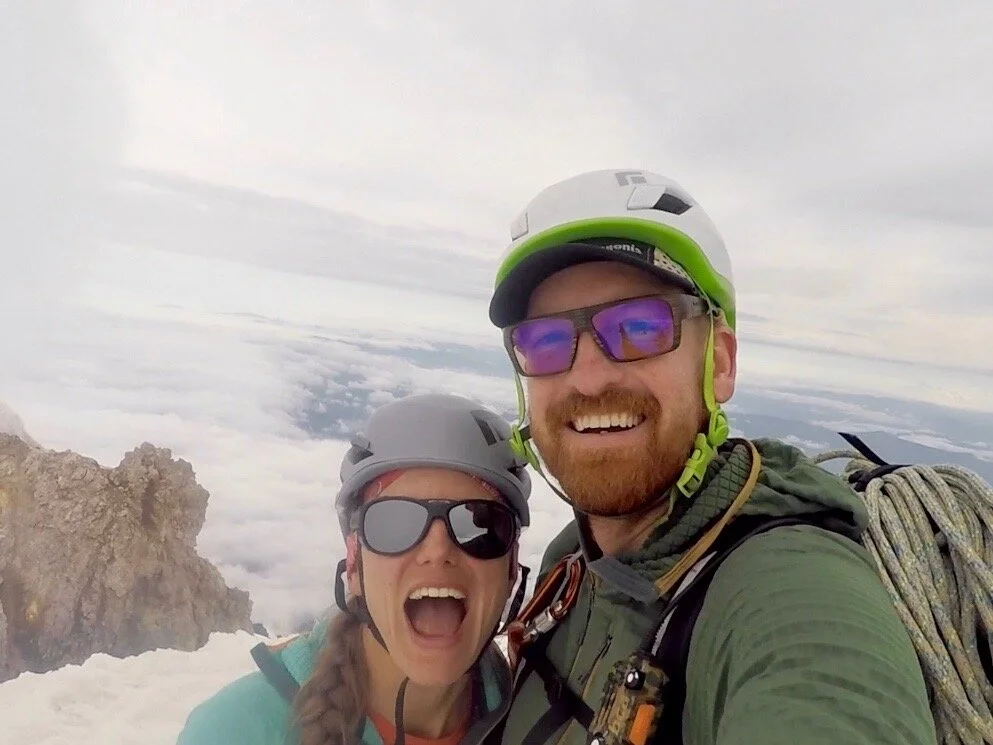
Alas, just before I knew it, there was no where higher to go! We, along with a two-man party coming up from the Kautz glacier on the opposite side, looked at our GPS to ensure that we were in fact at the high point on the summit rim. I was utterly euphoric in that moment! Although not a technically challenging route, as most of my rock climbing pursuits had been, the exceedingly rewarding nature of such an ascent had me high on cloud nine. Standing atop the most heavily glaciated and most prominent peak in the lower-48 was a dream come true, as sappy as I know that sounds. Now all we had to do was get down.
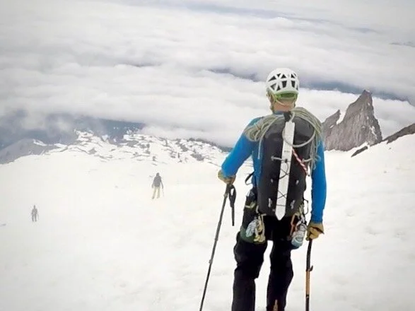
Mountain terrain always looks drastically different once facing the other direction, and we took a wrong turn at some point, and began following a different route down around the largest of the crevassed macro-features. This brought us to a steep slope that we had not ascended, but we could see the path a thousand or so feet below that would continue to take us back towards the Corridor. We descended this slope, down climbing when it was steeper, and faced-out plunge stepping when the angle lessened. Staggering like a couple happy drunkards we negotiated the final steps back into camp and toasted the only way we could, with melted snow for water and a couple freeze-dried dinners.
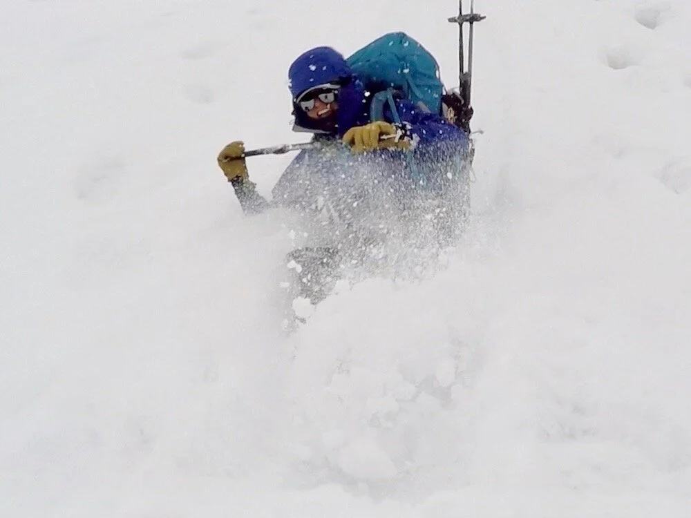
Overnight a storm rolled across the mountain and blanketed our little tent city in a layer of fresh snow. Although awakened by climbers of a guided group powering up rustling and racking their gear at about midnight for their own summit attempts, I was warm and comfortable in my sleeping bag, and the thought of getting to sleep in was all I needed to know to drift back comfortably into a dreamless sleep. With a lazy morning of instant oatmeal and instant coffee (breakfast of champions!), we witnessed one group after another descending down from the mountain far too early to have made the summit. The weather window of the previous three days had indeed turned, and all the rope parties of that morning had in fact bailed before reaching the top due to whiteout conditions and zero visibility. I felt such gratitude to our luck in the weather we had. The permit for these nights were picked out months prior with no way to plan for micro-forecasting; we just got lucky. A few thousand feet of butt glissading down the Inter Glacier later that morning brought us down towards Glacier Basin, and the trail had us back to the cars in a light drizzle.
We completed the 20 mi rt, 10,300 ft climb across four days car-to-car. 2:15h trailhead to Glacier Basin camp; 5:00h Glacier Basin to Camp Schurman; 7:15h Schurman to Columbia Crest, over 28-31 May 2019.
A truly wonderful climb capped off our two week trip of climbing in the Cascade Range. We’d continue on to our friend’s place in Mazama Washington for a little rest and recovery via single-pitch sport climbing and beer drinking. Then continued northeast for a drive on Canada’s Hwy 1, through Roger’s Pass and a short stay in Banff National Park, the former stomping ground of one of my climbing heroes in Barry Blanchard. Returning via Montana and Wyoming, we found our way back in Colorado just in time for what would become an excellent winter season in Breckenridge.

